Map samples 2010
Dědina roka 1:5000
- Basemap: ortophoto
- Other team members: -
- Other docs: Hand drawing
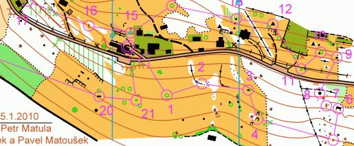
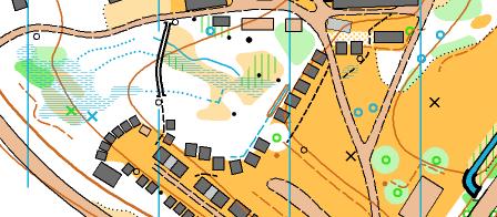
Borská klasika 1 1:15000
- Basemap: processed ortophoto
- Other team members: Zdeněk Lenhart, Evžen Cigoš.
- Other docs: Ortophoto, Hand drawing
Mařenka plus 1:15000
- Basemap: O-map
- Other team members: Lucie Procházková.
- Other docs: -
Bažinka 1:1000
- Basemap: Ortophoto
- Other team members: -
- Other docs: The OCD9 file of the map download [.OCD]
Heistadmoen 1:15000
- Basemap: Laserscan, Ortophoto
- Other team members: Aleš Hejna, Vendy Hejnová
- Other docs: Hand drawing, Old map (.JPG)
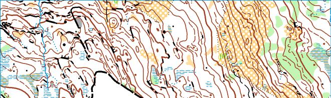
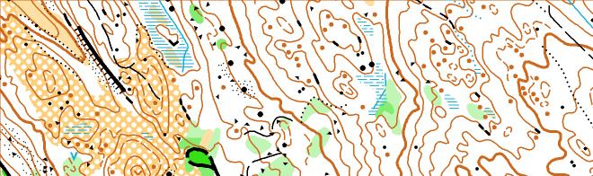
Hasselaasen 1:15000
- Basemap: Laserscan, Ortophoto, Object heights, Ortophoto - gray scale
- Other team members: Aleš Hejna, Bob Háj
- Other docs: The complete hand drawing (.JPG)
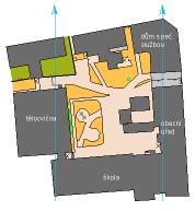
Školní dvůr 1:1000
- Basemap: Ortophoto
- Other team members: -
- Other docs: The OCD9 file of the map download [.OCD]
My smallest map - a school yard. Project for elementary school in village where I live.
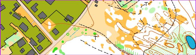
Marikollen skole 1:4000
- Basemap: Laserscan, Ortophoto
- Other team members: -
- Other docs: The original hand drawing
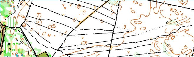
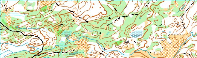
Urstjernet 1:10000
- Basemap: Old orienteering map (1990), ortophoto
- Other team members: Zdeněk Lenhart, Bob Háj
- Other docs: -
A quick revision of old O-map. Beautiful wild scandinavian terain (boulders under 2m were not mapped at all). This project was arranged by Olles.
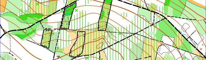
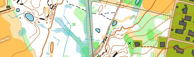
Rudsmoen 1:10000
- Basemap: ortophoto, laserscan
- Other team members: Zdeněk Lenhart, Bob Háj
- Other docs: Old map, Hand drawing
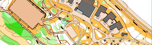
Kongsvinger festningen 1:5000
- Basemap: ortophoto, laserscan
- Other team members: Zdeněk Lenhart, Bob Háj
- Other docs: The complete hand drawing (.JPG)
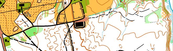
Liermoen 1:10000
- Basemap: ortophoto, laserscan
- Other team members: Zdeněk Lenhart, Bob Háj
- Other docs: Hand drawing
Seter Nord 1:15000
- Basemap: O-map (revision)
- Other team members: Zdeněk Lenhart, Bob Háj
- Other docs: -
Tel Azeka 1:10000
- Basemap: ortophoto
- Other team members: -
- Other docs: The complete hand drawing
Alpin 1:4000
- Basemap: -
- Other team members: Jakub Oma, Marek Mysliveček, Pavel Matoušek, Ondřej Šimáček, Jakub Lněnička, Michaela Gomzyk Omová, Veronika Krčálová, Pavla Horová, Hana Wurzelová, Ondřej Štrympl, Vašek Polák, Lucie Zachová, Markéta Havelková, Pavla Šrůtová, Jana Omová, Alžběta Lehárová, Petra Lněničková and Google Earth.
- Other docs: -
This map was made in 2 houres by the members of Czech national ARDF Team. The terain was all covered with half meter layer of snow, so some map fetures are not guarranteed. But the competition which followed - such as a sprint in those snowdrifts - was a really hard exercise of strength.